|
| *****SWAAG_ID***** | 947 |
| Date Entered | 23/08/2016 |
| Updated on | 24/08/2016 |
| Recorded by | Tim Laurie |
| Category | Mining Related |
| Record Type | Mining |
| Site Access | Public Access Land |
| Record Date | 21/08/2016 |
| Location | Bishopdale. Stake Moss |
| Civil Parish | Bishopdale |
| Brit. National Grid | SD 936 827 |
| Altitude | 554m |
| Geology | Lead mine shaft mounds on surface of the Main Limesone exposed below heavily eroded blanket peat 2- 3m deep. |
| Record Name | Bishopdale CP. Stake Moss. Small lead mine complex some 3km South West of Thoralby Lead Mine. |
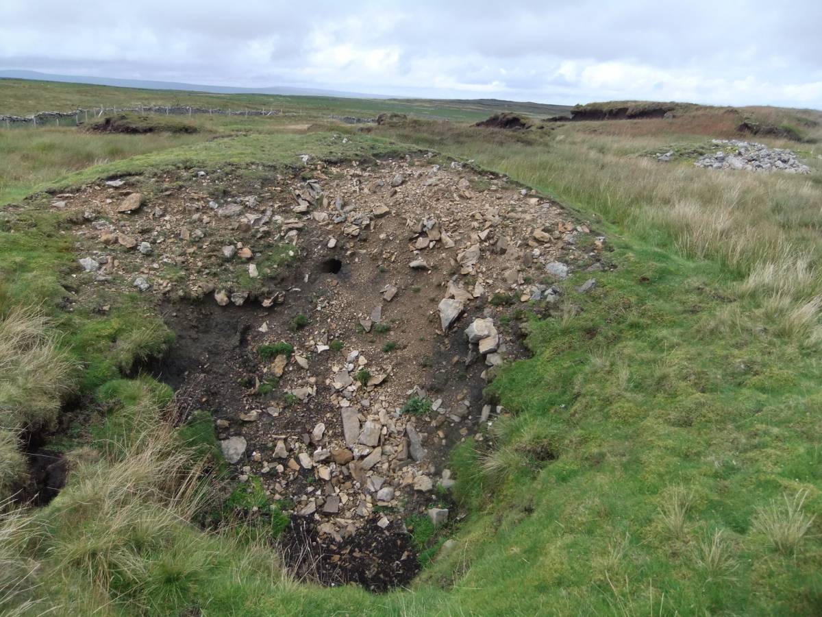
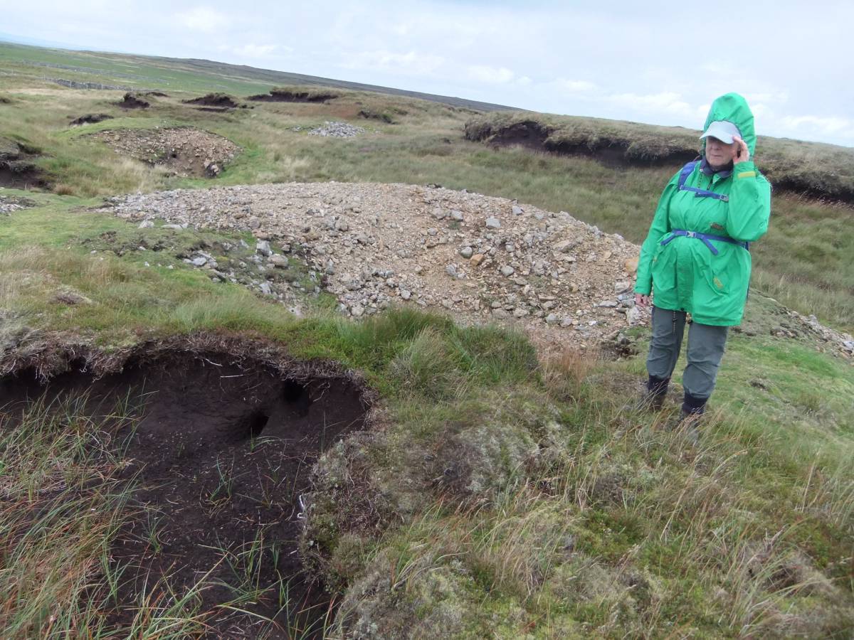
| Record Description | Bishopdale CP. Stake Moss.Located some 3km South West of the most westerly recorded lead mine on the south side of Wensleydale which is Thoralby Lead Mine. Small lead mine complex comprising at least eight shaft mounds located within Stake Moss Hags -an extensive area of heavily eroded blanket peat to the east of the Stake Road. Several of these lead mine shaft mounds are themselves partly shrouded below growing peat.
|
| Dimensions | See photos |
| Additional Notes | Not recorded by the OS on the 1:25000 map. Not mentioned in K.C. Dunham and Wilson, 1985. BGS Memoir Geology of the North Pennine Orefield. Chapter 11, p.163 and Figure 30.
Question! Has this small lead mine within L been described previously? |
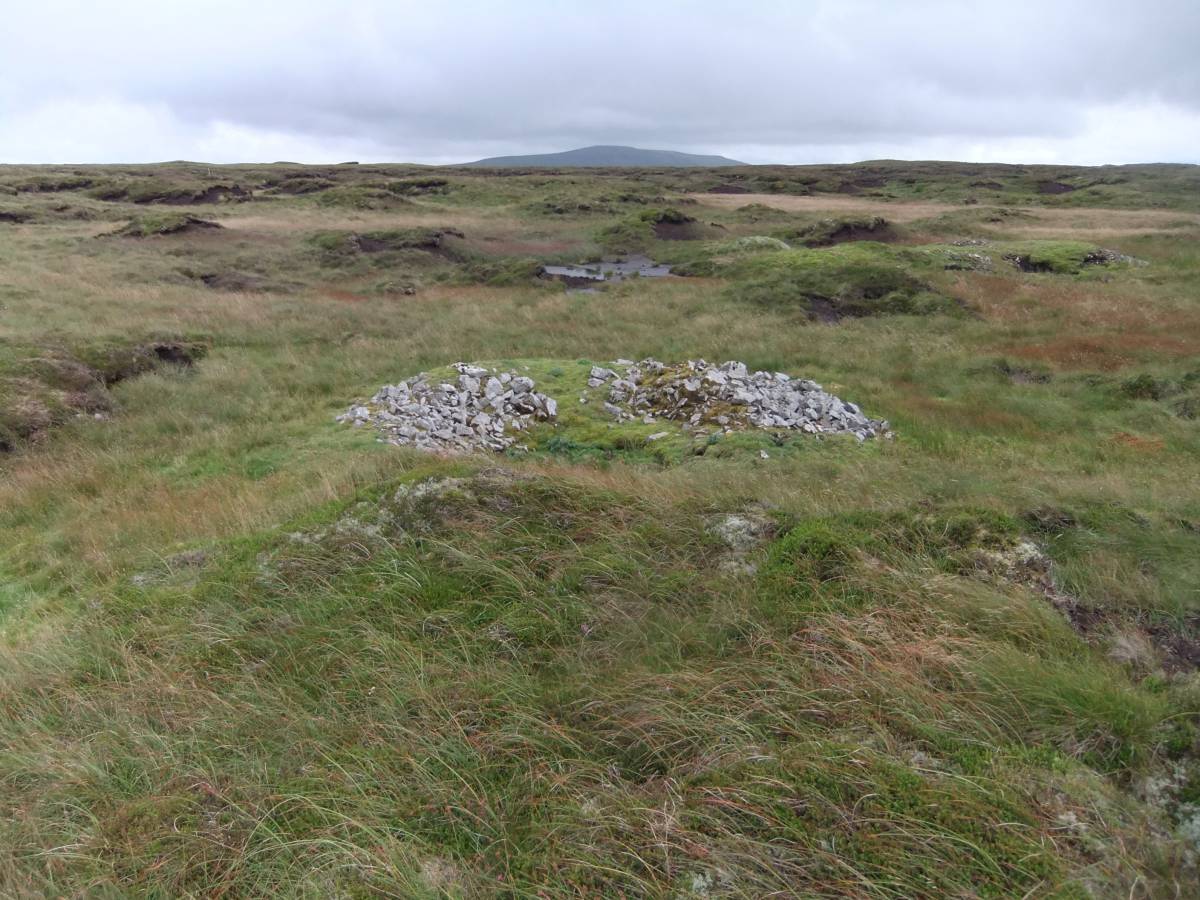
| Image 1 ID | 6889 Click image to enlarge |
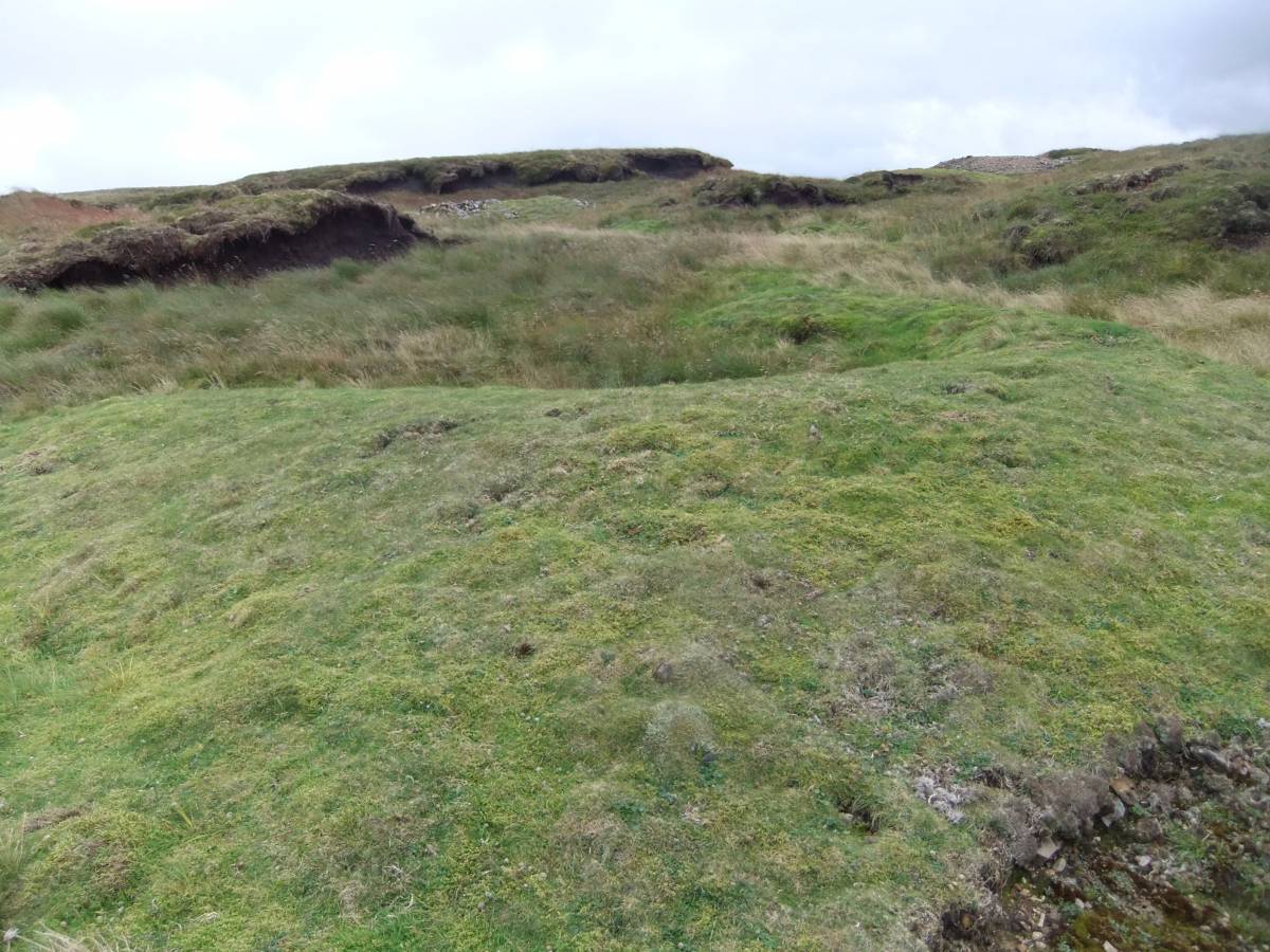
| Image 1 Description | Stake Moss. Lead mine shafts within eroding peat hags. | 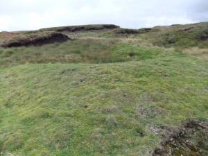 |
| Image 2 ID | 6890 Click image to enlarge |
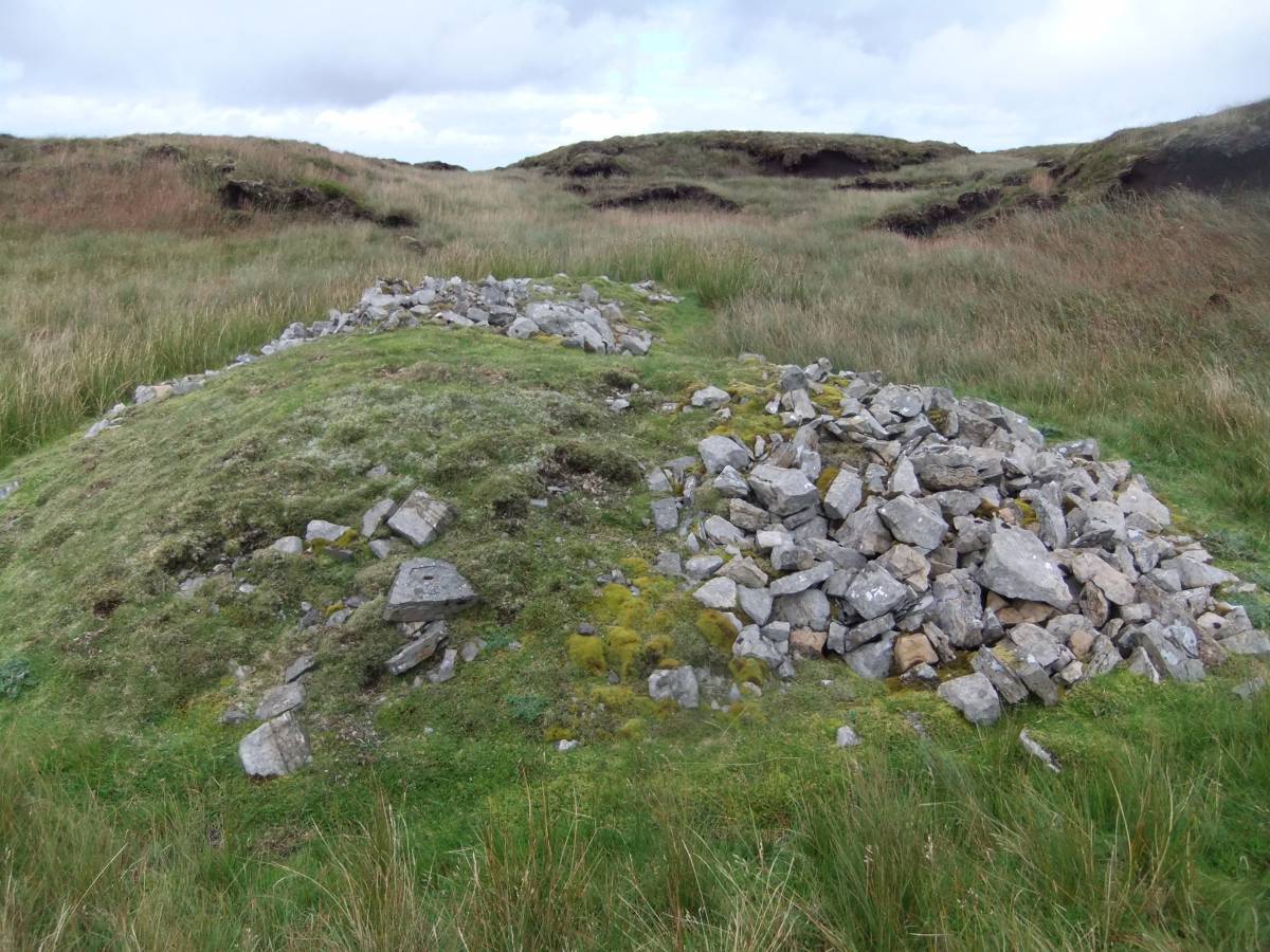
| Image 2 Description | Several of the shaft mounds are masked under growing peat. |  |
| Image 3 ID | 6891 Click image to enlarge |
| Image 3 Description | |  |
| Image 4 ID | 6892 Click image to enlarge |
| Image 4 Description | |  |
| Image 5 ID | 6893 Click image to enlarge |
| Image 5 Description | View northward from the shaft mounds towards Shunner (I think) or was it southward towards Buckden Pike?. |  |
| Image 6 ID | 6894 Click image to enlarge |
| Image 6 Description | Vernal or Spring Sandwort or Leadwort, Minuartia verna,in flower on one of the shaft mounds. | 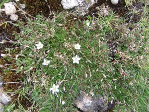 |